Dead Animals Don't Lie: The Rural Driver's Guide to Reading the Road Through Roadkill
Dead Animals Don't Lie: The Rural Driver's Guide to Reading the Road Through Roadkill
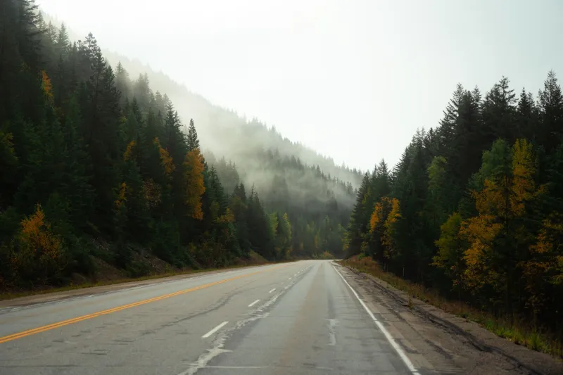
There's a moment every rural driver knows. You're somewhere in the middle of nowhere — maybe eastern Montana, maybe the Ozarks — and the road ahead is empty, dark, and completely unmarked. Your GPS gave up twenty minutes ago. And then you see it: a freshly dead possum on the shoulder.
Most people wince and drive past. But for generations of experienced rural drivers, that possum was information.
Long before wildlife crossing signs became a staple of highway design, people who spent serious time on back roads developed a quiet, practical system for reading animal patterns. It wasn't superstition. It was observation — accumulated over thousands of miles by truckers, hunters, rural mail carriers, and anyone else whose livelihood depended on knowing a road better than a map could explain.
The Living Map Nobody Published
The core idea is simple: animals aren't random. Every species has preferred territory, seasonal migration patterns, and environmental triggers that push them across roads at predictable times and places. When you know what to look for, the roadside becomes a surprisingly detailed data feed.
Take deer. Heavy deer crossings on a particular stretch of road often signal something specific about the terrain nearby — a creek bottom, a field edge, a funnel between two woodlots. Old rural drivers knew that a consistent deer crossing zone usually meant low ground ahead, often ground that flooded seasonally. If you were driving an unfamiliar route in spring and started noticing fresh deer activity clustered on one side of the road, experienced hands would tell you: slow down, watch for soft shoulders, and don't be surprised if the ditch on your left holds standing water.
Turtles were an even more reliable indicator. A snapping turtle crossing a road in June isn't lost — she's heading to higher ground to lay eggs, moving away from water. Rural mail carriers in the Midwest used consistent turtle crossings as informal markers for nearby ponds and drainage areas that didn't show up on county maps. Some swore they could predict which low-water crossings would be impassable after heavy rain just by remembering where the turtles crossed each summer.
Roadkill as a Seasonal Calendar
Beyond terrain, animal patterns tracked time in ways that were genuinely useful for anyone running a regular route.
Armadillos push north and east in warm years, retreating when winters bite. Raccoon activity spikes in late summer and again in early fall as young animals disperse. Foxes move more at dawn and dusk during breeding season — which also happens to be when visibility is worst. Experienced truckers running overnight hauls through Texas and the Deep South learned to treat sudden increases in fox sightings as a sign that late winter had arrived, which meant ice was a real possibility in the predawn hours even when temperatures seemed mild.
Skunk encounters told a different story. A skunk in the road during daylight is unusual enough to notice — skunks are heavily nocturnal. Rural drivers who saw them out in the middle of the afternoon learned to treat it as a rough weather signal. The folk explanation was that barometric pressure changes disrupted their behavior. Whether or not that's scientifically airtight, the correlation was reliable enough that more than a few old-timers kept it in their mental toolkit.
The Shortcut Signal
Here's where it gets genuinely useful for modern driving: animal crossings often reveal the hidden logic of a landscape that roads don't always follow.
Wildlife tends to use the path of least resistance — the same instinct that shaped Native American trails, which in turn shaped colonial roads, which in turn became many of the rural highways we still drive today. When animals consistently cross a road at a particular point, it often means there's a natural passage there: a low ridge, a gap in a tree line, a natural drainage. That same passage sometimes connects two roads that a map shows as unrelated.
Hunters who worked unfamiliar territory learned to trace these crossing patterns backward, essentially reverse-engineering the landscape. A few rural delivery drivers picked up the same habit, using consistent animal activity to identify informal shortcuts that connected county roads through farm fields or forest tracts — routes that didn't exist on any official map but were perfectly passable in dry weather.
What Still Works Today
None of this requires you to become a wildlife biologist. The practical version is simple: pay attention to what you're seeing, and treat it as data.
If you're driving an unfamiliar rural route and you notice a cluster of roadkill concentrated in one short stretch, that's worth thinking about. What species? What time of year? Is the terrain changing around that spot — does the road dip, does the vegetation shift, does the shoulder get soft?
A single dead animal tells you almost nothing. But a pattern — the same species, the same half-mile of road, over multiple trips — is the landscape talking.
Most of us have been trained to see roadkill as a sad accident and nothing more. The people who drove these roads before GPS, before wildlife crossing signs, before anyone thought to put a yellow deer silhouette on a diamond-shaped sign — they saw something else. They saw a map that updated itself every season, drawn by animals who knew the terrain better than any cartographer.
Next time you're out on a rural highway and something catches your eye on the shoulder, it might be worth a second look. The road has always been trying to tell you something. Most of us just forgot how to listen.