The Man Who Drove Every Street in America — and the Quiet Army Still Doing It
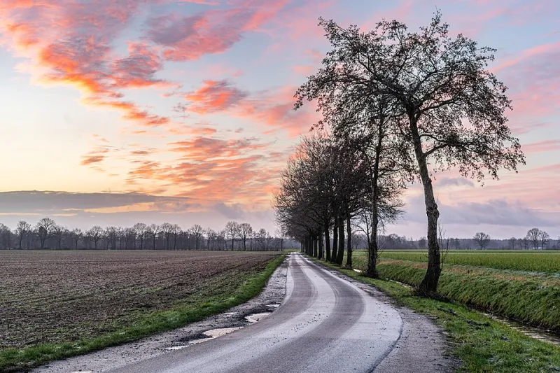
Photo: Dietmar Rabich, CC BY-SA 4.0, via Wikimedia Commons
There's a question that sounds like a bar bet and is actually a career: how do you know a road exists?
Satellites can see pavement, sure. But a satellite can't tell you that the bridge on County Road 14 washed out in April. It can't tell you that the "road" on the map is actually a private driveway, that the cul-de-sac was never finished, or that the new subdivision off Route 9 added four streets last year. Aerial imagery is a year or more old. GPS traces from phones only cover where people already go.
Somebody has to drive down the roads nobody else drives down. That's the job.
The Original Ground-Truthers
The profession is older than you'd guess. Long before Google, the U.S. Postal Service and oil companies — yes, oil companies — employed people to verify routes. The oil industry's role is the great overlooked chapter: in the 1930s through the 1960s, gasoline retailers like Shell and Texaco gave away free road maps as marketing, and those maps were only as good as the field men who checked them. Driving every state highway and county road with a clipboard, they corrected errors, logged new construction, and quietly built the geographic database America actually ran on.
When commercial mapping firms like Rand McNally and later Navigation Technologies (the company whose data eventually flowed into the first in-car navigation systems) took over the work, the method barely changed: drive it, confirm it, write it down.
Google's Street View Van Is the Polite Version
When Google began mapping the world, it inherited this tradition. The famous Street View cars are the visible tip — but underneath them sits a less glamorous operation: route verification. Drivers are sent down dirt roads, gated subdivisions, and dead ends specifically because the data is uncertain. Their job is to answer, with a steering wheel, the questions satellites can't.
The USPS does something similar in its own way — carriers become de facto mapmakers, correcting address ranges and flagging routes that no longer make sense. And a surprising number of counties still pay people to physically re-verify rural addressing after the 911 addressing reforms of the 1980s and '90s, when emergency dispatch discovered that entire townships had roads with duplicate names and houses with no numbers at all. People died waiting for ambulances that couldn't find them. The fix was driving every road and naming every driveway.
What They See That We Don't
The people who do this work tend to develop a specific kind of intimacy with the country. They know which states maintain their gravel roads like garden paths and which let them degrade into washboard. They've watched the same gas station change hands four times. They can tell you that the fastest route between two Wyoming towns is the one no app will ever suggest, because no app has data good enough to trust it.
One recurring theme from the drivers who've talked about the work publicly: the discrepancy rate. Even now, a meaningful percentage of the roads they check have something wrong with them — a closed segment still showing open, a street missing entirely, a bridge with a weight limit no map mentions. The map you trust every day is not a finished product. It's a living document, kept honest by people in rented sedans.
There's also a melancholy side. Verification drivers are often the last people to document places before they vanish — towns bypassed by the interstate, roads abandoned when a mine closed, farms subdivided into cul-de-sacs. Their route logs read like archaeology.
Why This Matters to You
Here's the practical takeaway hiding in this story: when your GPS confidently routes you down a road that doesn't exist, you're not experiencing a glitch. You're seeing the edge of the map — the place where no verification driver has been recently enough to matter. Rural shortcuts, seasonal roads, and anything marked as an unmaintained track deserve your skepticism, especially at night or in winter.
And maybe there's a small invitation in it, too. The people who know America's roads best didn't learn them from a screen. They learned them by driving the ones nobody recommended. That's a pretty good argument, every so often, for taking the exit that isn't on the map.