The Rainbow Roads That Almost Replaced Highway Numbers
The Great Highway Identity Crisis
Picture this: instead of following Interstate 95 from Maine to Florida, you'd trace the "Atlantic Blue Trail" marked by distinctive blue bands painted on telephone poles and road signs. Rather than navigating Route 66 to California, you'd follow the "Sunset Orange Path" guided by orange symbols and matching roadside markers.
This wasn't fantasy — it was nearly reality. In the early 1920s, as America grappled with creating its first national road system, a fierce debate raged between two completely different philosophies for organizing highways. The numbered grid we take for granted today won by the narrowest of margins, erasing a colorful alternative that had powerful supporters and genuinely compelling advantages.
The Trail Blazers vs. The Number Crunchers
The color-and-symbol system emerged from the "named trail" movement that had been growing since the 1910s. Organizations like the Lincoln Highway Association had successfully promoted coast-to-coast routes using distinctive names and colored markers. The Dixie Highway, the Jefferson Davis Highway, the Great White Way — these weren't just roads, they were brands with devoted followings.
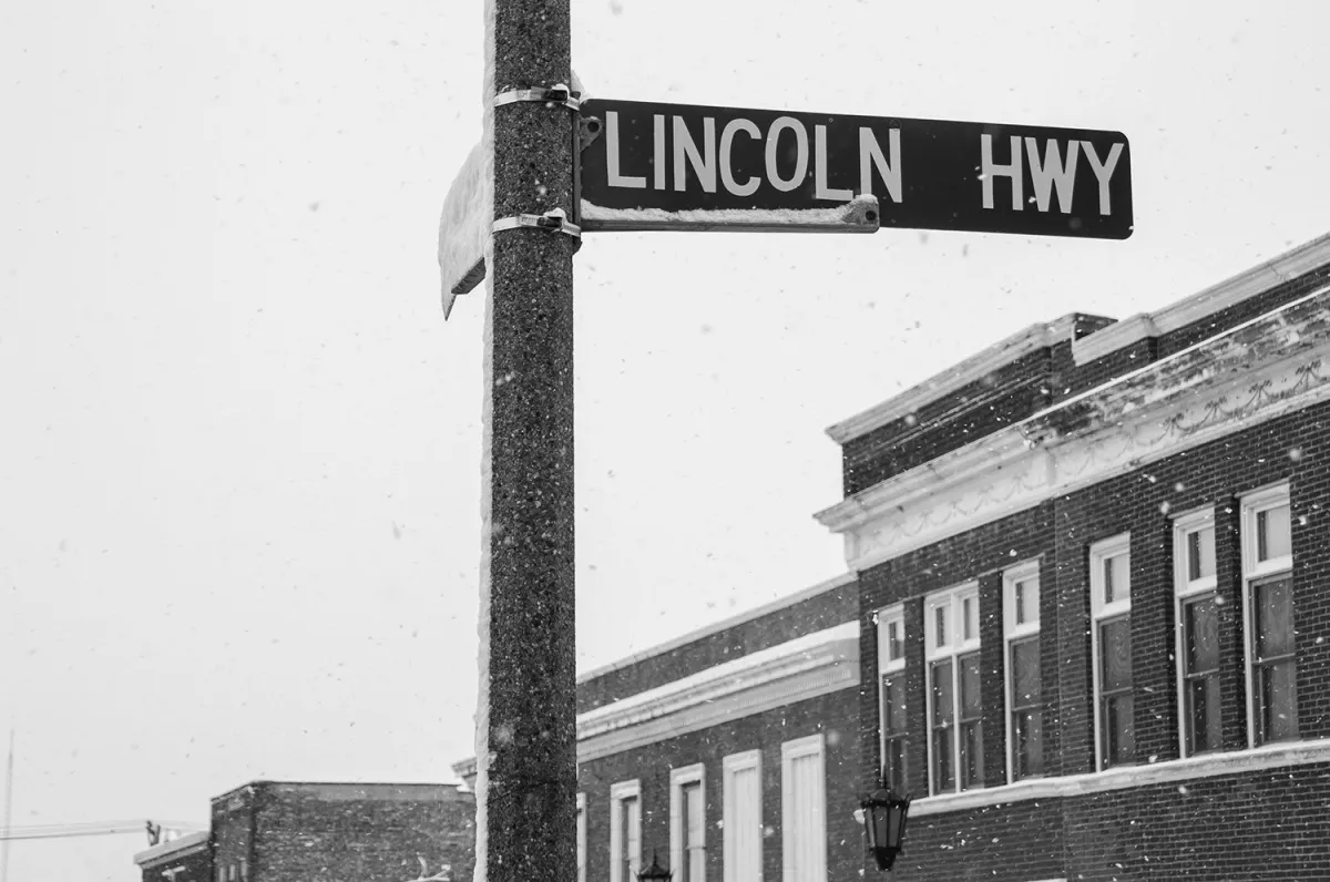 Photo: Lincoln Highway, via blog-assets.thedyrt.com
Supporting this approach was an unlikely coalition: state tourism boards (who loved the marketing potential), local chambers of commerce (who wanted memorable route names), and surprisingly, many early automobile clubs (who argued that "Yellowstone Trail" was easier to remember than "Highway 20").
Opposing them were federal transportation officials, military planners, and a growing faction of engineers who insisted that systematic numbering was more logical, efficient, and expandable. Their champion was Thomas MacDonald, chief of the Bureau of Public Roads, who viewed named trails as romantic nonsense that would create chaos as the highway system expanded.
The Case for Colorful Roads
The trail system advocates made compelling arguments that sound surprisingly modern. Color coding, they argued, was more intuitive than abstract numbers. A driver could follow "red trail" markers without memorizing route numbers or consulting maps. Tourists would remember taking the "Golden Gate Trail" to California long after they'd forgotten "Highway 101."
They had practical advantages too. The color system was inherently flexible — new routes could be added without renumbering existing ones. Local communities could maintain distinct identities for their segments while participating in larger trail networks. Most importantly, the system was already working in several states.
By 1924, the "Great Lakes Circle Tour" used distinctive blue and white markers to guide drivers around all five lakes. The "Old Spanish Trail" stretched from Florida to California using red, white, and yellow symbols. These weren't just painted lines — they were comprehensive navigation systems with matching guidebooks, roadside services, and promotional materials.
The Secret Weapon: Tourism Dollars
What nearly won the battle for the trail system wasn't logic — it was money. State governors and tourism officials recognized that named, branded routes could become destination attractions themselves. Route 66 eventually proved this point, but trail advocates saw the potential decades earlier.
The "Trail Association" movement had created something unprecedented: self-funding highway promotion. Local businesses along named trails contributed to maintenance, signage, and marketing because they had a stake in the trail's success. The "Lincoln Highway Association" raised over $10 million from private sources — money that would never have materialized for "Highway 30."
Several states went all-in on the trail concept. Wisconsin developed an entire network of color-coded routes with matching roadside parks and promotional materials. Michigan's "Heritage Trail" system included historical markers, scenic overlooks, and coordinated tourism services. These weren't just transportation routes — they were integrated travel experiences.
The Meeting That Changed Everything
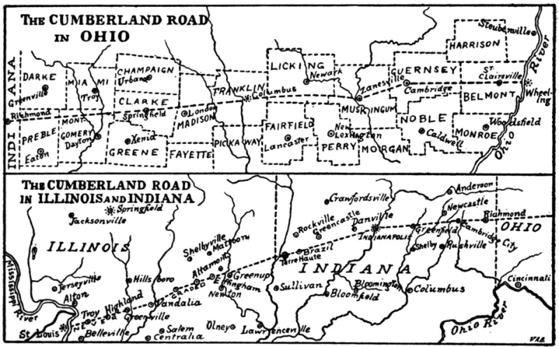
The showdown came at a seemingly routine conference in Washington, D.C., on April 20, 1925. The American Association of State Highway Officials had gathered to finalize the national highway numbering system. Trail advocates arrived confident they had enough state support to influence the final decision.
They miscalculated. Thomas MacDonald had spent months building support for numerical designation among federal officials, military representatives, and engineering societies. When the vote came, the numbered system won — but barely. The margin was reportedly just three votes out of more than fifty delegates.
The decision was presented as purely practical: numbers were more systematic, easier to expand, and less prone to local politics. But meeting notes (discovered decades later in National Archives files) reveal deeper concerns. Federal officials worried that colorful, named trails would be harder to control, more susceptible to commercial influence, and potentially confusing as the system grew.
The Rapid Erasure
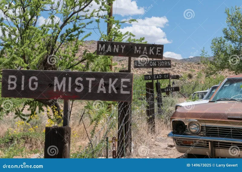
What happened next was remarkably swift. Within two years, most state trail associations had disbanded or refocused on local tourism. The elaborate color-coding systems were painted over or replaced with standard highway signs. Guidebooks became obsolete overnight. An entire infrastructure of trail-based navigation simply vanished.
Some traces lingered. A few named highways survived as secondary designations alongside their new numbers. Tourism organizations kept some trail names alive as marketing concepts. But the systematic, color-based navigation network that had been spreading across America disappeared almost completely.
The Road Not Taken
Would America's highways have been better with colors instead of numbers? It's impossible to know, but the trail system's advantages were real. European countries that maintained named route systems (like Germany's "Romantic Road" or England's "Fosse Way") demonstrate how geographic branding can enhance both navigation and tourism.
The irony is that modern highway systems have quietly moved back toward trail concepts. Scenic byways, heritage corridors, and tourism routes all use distinctive names, symbols, and branding — exactly what the trail advocates proposed in 1925.
The Curious Legacy
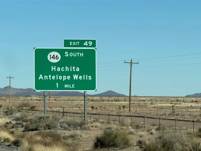
The next time you follow Interstate 40 across the Southwest, remember that you might have been tracing the "Desert Sunset Trail" instead. The numbered grid that guides American travel today wasn't inevitable — it was the result of one close committee vote that erased a colorful alternative from history.
Sometimes the most interesting stories are about the roads not taken. In this case, quite literally.